

“China Low-speed Autonomous Driving Scenario Ecological Co-construction and Expansion Conference 2022” brings together companies in the low-speed autonomous driving industry to share cutting-edge industry developments and technology solutions.
As the "eyes" of low-speed autonomous vehicles, LiDAR, with its indispensable function, has drawn the participants’ attention.
At the conference, LSLiDAR revealed its new auto-grade LiDAR with 1550 nm fibre laser, and the new version of multi-line mechanical LiDAR, demonstrating the most advanced sensing technology.
As a LiDAR and overall solution provider, LSLiDAR focuses on solutions for low-speed driving scenarios, with LiDAR 3D SLAM Autonomous Navigation System, Multi-Sensor Fusion Environment Sensing System and Vehicle-Road Cooperation Roadside Sensing System, to show how 3D LiDAR empowers the autonomous driving scenarios such as ports, mining areas, sanitation, delivery and autonomous shuttle.
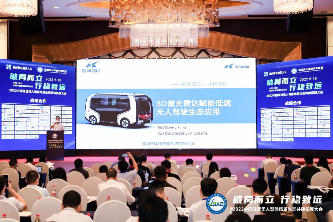
Speech Topic: 3D LiDAR Empowers Ecological Applications of Low-speed Autonomous Driving
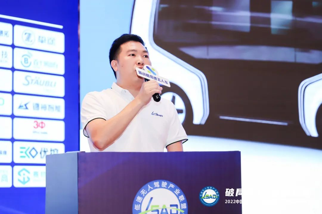
Yang Pingui, General Manager of LSLiDAR
LiDAR 3D SLAM Autonomous Navigation System
The LiDAR 3D SLAM Autonomous Navigation System adopts multi-line LiDAR as the main sensor to scan and detect the vehicle’s operation area, and uses an advanced 3D SLAM algorithm to build a 3D scene map, while combining SLAM matching positioning, low-speed autonomous vehicle odometry and IMU to achieve high-precision positioning, generating global optimal path planning and trajectory tracking control.
With multi-sensor fusion, the system is able to maintain accurate vehicle positioning and path tracking even when the signal is attenuated.
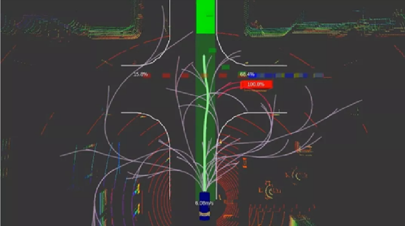
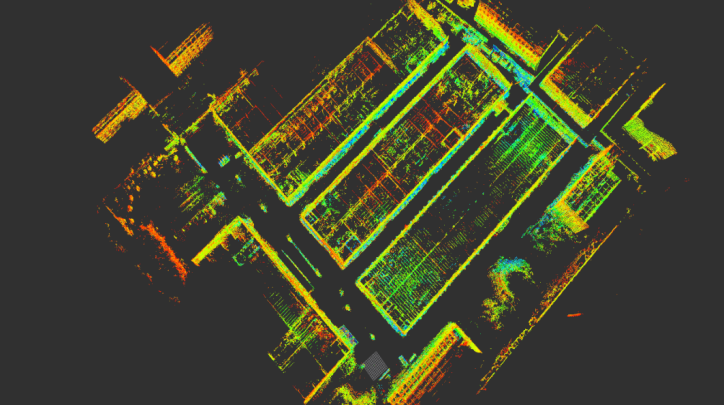
The system integrates sensing hardware and algorithms, providing customisation from hardware to an overall solution. The system has the characteristics of miniaturization and is suitable for embedded or externally placed in various industrial robots or non-industrial robots.
Currently, LiDAR 3D SLAM Autonomous Navigation System is employed in products like cleaning robots, delivery robots, autonomous forklifts and AGVs.
Multi-Sensor Fusion Environment Sensing Solution
Compared to LiDAR 3D SLAM Autonomous Navigation System, Multi-Sensor Fusion Environment Sensing Solution is more suitable for more complex road operating environments.
The complex road environment includes not only pedestrians, vehicles, markings, obstacles and other factors, but also changes in weather. This undoubtedly places a higher demand on the sensitivity of the sensing system.
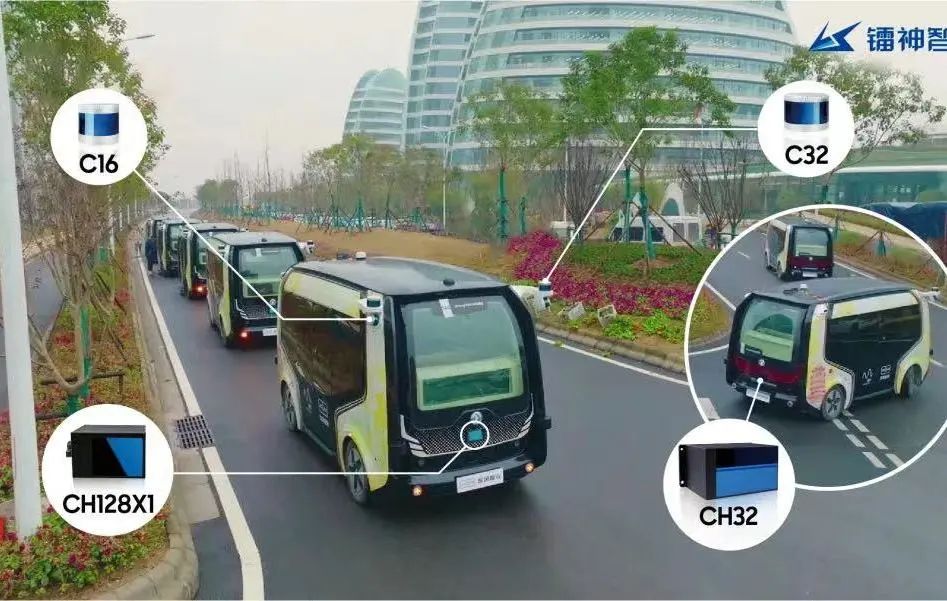
LSLiDAR’s Multi-Sensor Fusion Environment Sensing System, which integrates LiDAR, millimetre wave radar and camera, realises the function complementary of multiple sensors to obtain more comprehensive environmental information to ensure safety redundancy of driverless vehicles.
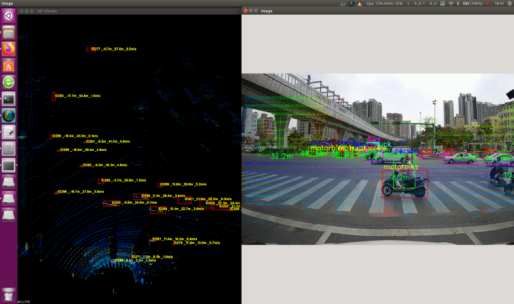
LiDAR + Camera Fusion Road Test Effect
In addition, the system's neural network algorithm has leading-edge deep learning capability, which can accurately identify target attributes and instantly output environmental information around the vehicle, including lane line, road signs, coordinates of vehicles and pedestrians, contour, speed, distance, etc., to achieve intelligent driving responses of the vehicle.
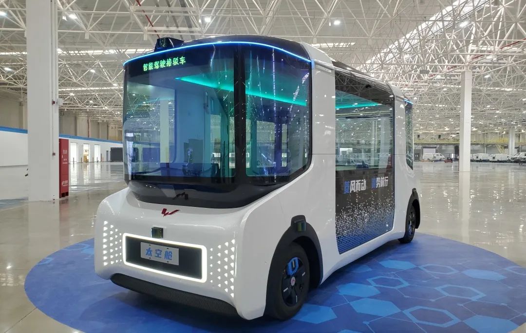
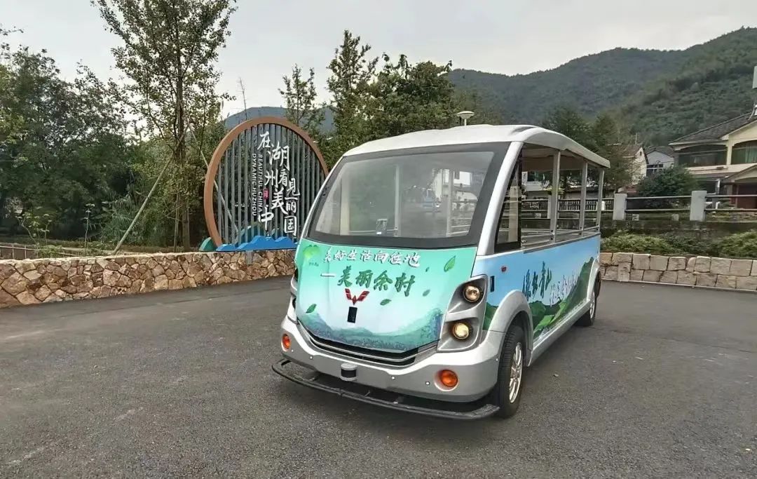
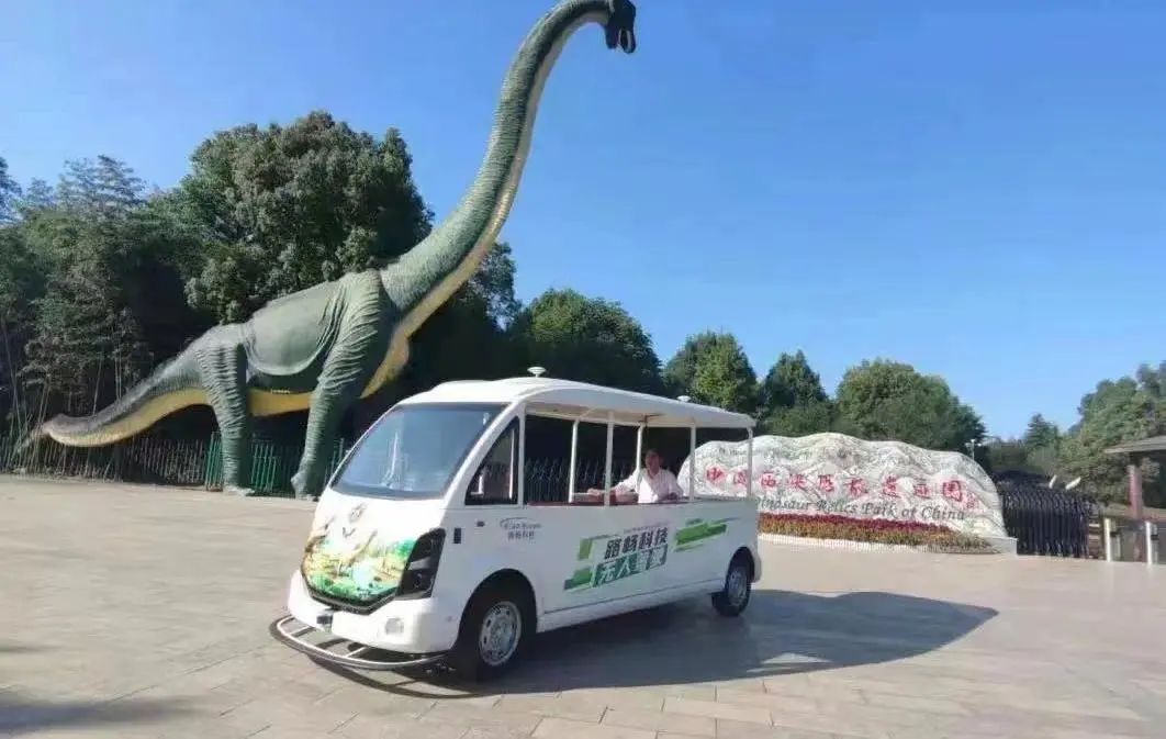
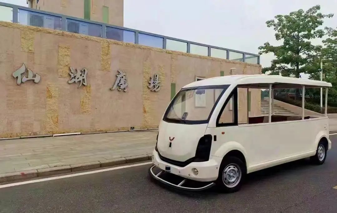
The solution has already been implemented in various driverless vehicles, including Dongfeng Yuexiang's driverless shuttle bus "Spring Shoot", which has been operating in Wuhan Xiaojunshan Metro Station and Chedu Youth City, providing all-weather short-distance driverless shuttle services; and Wuling's driverless sightseeing bus, which has been delivered and used in Zhejiang, Wuhan and Liuzhou, etc.
Driverless application cases
Vehicle-Road Cooperation Roadside Sensing System
The above two solutions are to make a single vehicle intelligent, but for the overall safety of road operation, a Vehicle-Road Cooperative Roadside Sensing System is needed to provide an overall road environment for driverless vehicles from a "God's perspective" and to make up for the visual blindness of a single vehicle.
The roadside sensing system incorporates all road information, including pedestrians and objects, into the V2X data network, and then broadcasts it to the surrounding and remote vehicles through the traffic control centre server, while providing the vehicles with intersection information and traffic safety tips, including red light reminders, driving speed reminders, blind spot reminders, etc., which ensures the safety of single vehicle autonomous driving.
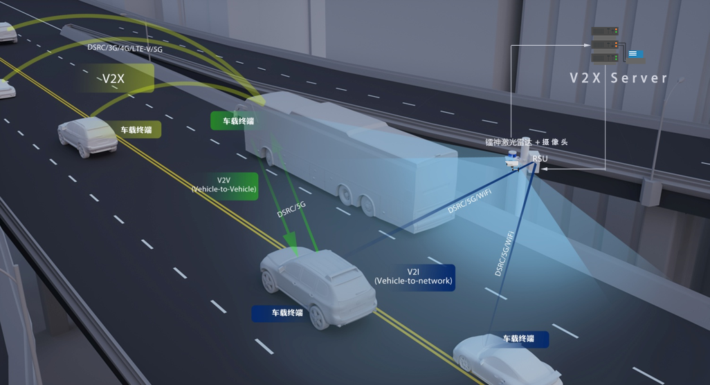
With the rapid development of autonomous driving today, it is important to build a more reliable autonomous driving implementation scenario and roadside digitalisation. In order to ensure the safety of autonomous driving, the dual-track development of "single vehicle intelligence" and "road intelligence" is of strategic significance.
In this regard, LSLiDAR has not only the overall solution for the vehicle side, but also the application solution for the roadside, and has realized the data sharing between the two sides.
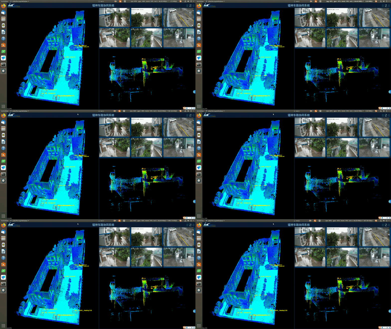
Application of LSLiDAR Shenzhen Factory Park
With the continuous integration and upgrading of LiDAR application solutions, LSLiDAR is full of confidence in enabling the further development of low-speed autonomous driving, which also echoes the theme of the conference speech. "3D LiDAR enables low-speed autonomous driving ecological applications" is not only an existing solution, but also proven by practice.


